

Disasters are something that cannot be avoided but the level of losses and victims can be minimized. Not only natural disasters, disasters caused by human factors such as riots and fires are very dangerous. The risk of victims and losses can be eliminated or reduced by providing appropriate information to building occupants when a disaster occurs. You can imagine, for example, when a fire disaster occurs, the building occupants do not know where the fire is. As a result, if the occupants choose the wrong way to escape, the occupants can approach the hotspot and eventually cannot get out, trapped in the building. Not a few building occupants do not know or pay attention to room plans, emergency doors, and exit doors. Even though they have been given training, sometimes building occupants have a tendency to become confused and unable to think about saving themselves.
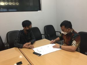
Diponegoro University Team I Community Service Program which is in line with the SDGs Goals, especially points 9 and 11 for the development of sustainable infrastructure facilities. At the Brumbungan Sub-District Office, there is no evacuation map containing information on the kelurahan office space, where there is often confusion for residents and kelurahan guests about information and spatial planning in Brumbungan Village. In fact, the evacuation map is one of the K3 standards in the infrastructure of a building that ensures the safe use of room functions. Seeing that there is no evacuation map and with the advice of the Field Supervisor, Mr. Ocid Mursid, ST, MT, Andi Setiawan, a Ship Engineering Student, Faculty of Engineering, Diponegoro University wants to contribute to the community to make an Evacuation Map for the Brumbungan Village Office Building, Semarang District Central, Semarang City. In addition to the form of Community Service Program UNDIP Team I, Andi also feels that the evacuation map of the building is very necessary, especially in the sub-district office building which is the basis for community services in Brumbungan Village. With the help and advice of the Field Supervisor, Mr. Ocid Mursid, ST, MT.
Conduct a survey with the help of Mobile Topograper to determine the coordinates of the latitude and altitude of the kelurahan building, after that take measurements of the building and access points in the kelurahan building. With that, I can create an evacuation access point scenario that can be easily accessed by visitors and village administrators. I put the evacuation route scenario in CAD with the help of software. Don’t forget to include an important number in case an unwanted situation occurs, the public can call the number listed on the evacuation map.
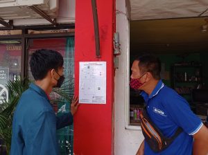
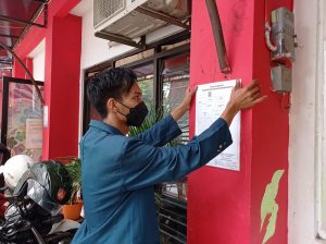
On Friday (18/01/2022), Andi also coordinated and gave permission to the Head of Brumbungan Village, Mr. Fx. Hanis Triyono to be able to paste the evacuation map at the village office and socialize the evacuation route to village visitors. Visitors will be given direction and education about the importance of disaster evacuation and how to read disaster evacuation maps.
With my contribution, I hope that apart from helping the achievement of SDGs Goals points 9 and 11 regarding sustainable development, it can also help the community understand the kelurahan evacuation map so as to assist the delivery of information, evacuation, security, comfort and services to the community in Brumbungan Village.
Author : Andi Setiawan
Under the guidance of Supervisor Mr. Ocid Mursid, ST, MT.